Property Overview
- Features
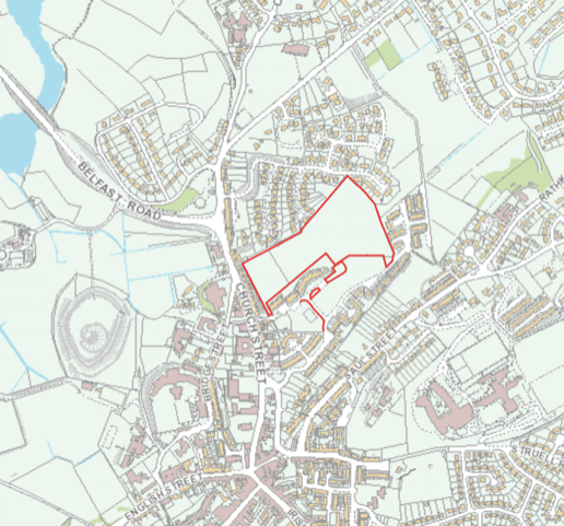
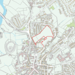
- Location
- Title
- Guide Price
- Stamp Duty Land Tax
- Contact
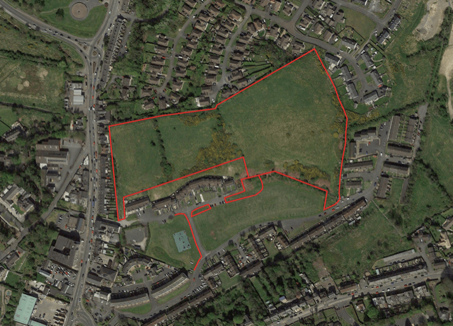
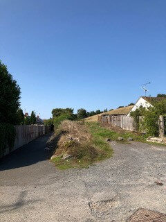
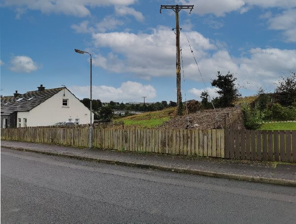
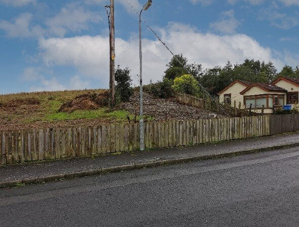
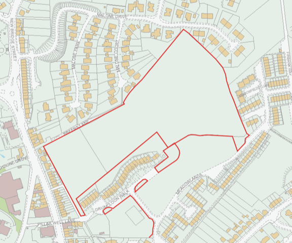
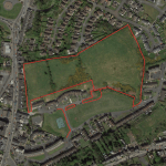
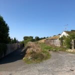
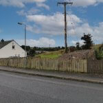
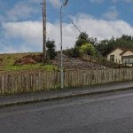
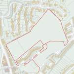
The subject lands are elevated/sloping in nature and are generally bounded by residential and open space uses on all sides and lie east of Church Street, north of Drumcloon Walk and Meadowlands, west of Meadowfields Close, south of Malone Court, Malone Park and Malone Drive.
Formal access to the lands from a development perspective is currently restricted but as the location is within the settlement limit there is potential for upside over time.
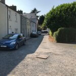
The current access points are located at Breen’s Lane and Pillar Well Lane with potential for further access off Malone Drive and Meadowlands.
The surrounding area is characterised by a mix of new and established social/private housing and local commercial uses.
The subject lands are elevated/sloping in nature and are generally bounded by residential and open space uses on all sides and lie east of Church Street, north of Drumcloon Walk and Meadowlands, west of Meadowfields Close, south of Malone Court, Malone Park and Malone Drive. Formal access to the lands
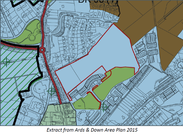
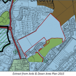
- Potential site area – c. 10.87 acres, c. 4.4 Ha (lying within the town settlement limit, not restricted by zoning or designation).
- Previously approved for residential development. Preliminary planning advice indicates a potential density of c. 75 units may be possible (details on request).
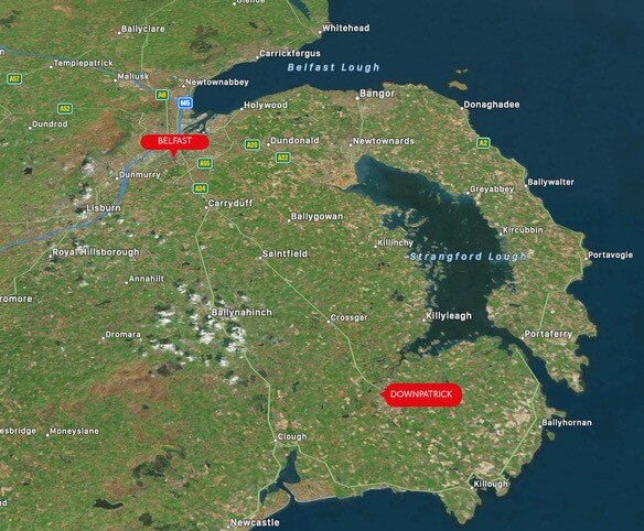
- Downpatrick is an important commuter/county town situated c. 21 miles south of Belfast.
- Potential dual access – providing possible development in phases or sub divided for future part site sale.
- Convenient to major roads (A7 to Belfast), within walking distance of schools, transport links and retail/leisure amenities.
Accommodation
10.87 Acres
You may also like

Lisney Commercial
Services
Meet our Experts
- Development Land
- Industrial
- Investment
- Licensed and Leisure
- Offices
- Retail
- Specialist