FORMER CULNADY PRIMARY SCHOOL, BALLYMACILCURR ROAD, CULNADY
We have now been instructed to set a closing date on the above property, please find the closing date information below.
Our last viewing day will be on Thursday 26th October, please let me know if you’d like to book in for a viewing.
Initial bids must be placed prior to12 NOON ON WEDNESDAY 8th NOVEMBER 2023 ensure inclusion in the next round of bidding.
We will only be accepting further bids after this date from parties who have already made an initial bid.
A bid must include the following;
The proposed offer amount in pounds sterling.
Proof of funds must be provided, by way of a bank statement or confirmation of funds letter from your bank, accountant or solicitor
Purchaser name and full contact details.
Purchaser ID – passport / driving licence & utility bill (dated within the last 2 months)
Your solicitor details.
Any conditions associated with your bid
Please note, the vendor reserves the right not to accept the highest, or indeed any, offer made.
CLOSING – 12 NOON ON WEDNESDAY 8th NOVEMBER 2023
FORMER CULNADY PRIMARY SCHOOL, BALLYMACILCURR ROAD, CULNADY
We have now been instructed to set a closing date on the above property, please find the closing date information below.
Our last viewing day will be on Thursday 26th October, please let me
Land of circa 1.4 acres in centre of Culnady Village
Excellent building for refurbishment (STPP)
Prime site for residential development subject to planning permission
Just 2.6 miles from Maghera town centre
Quiet, picturesque village
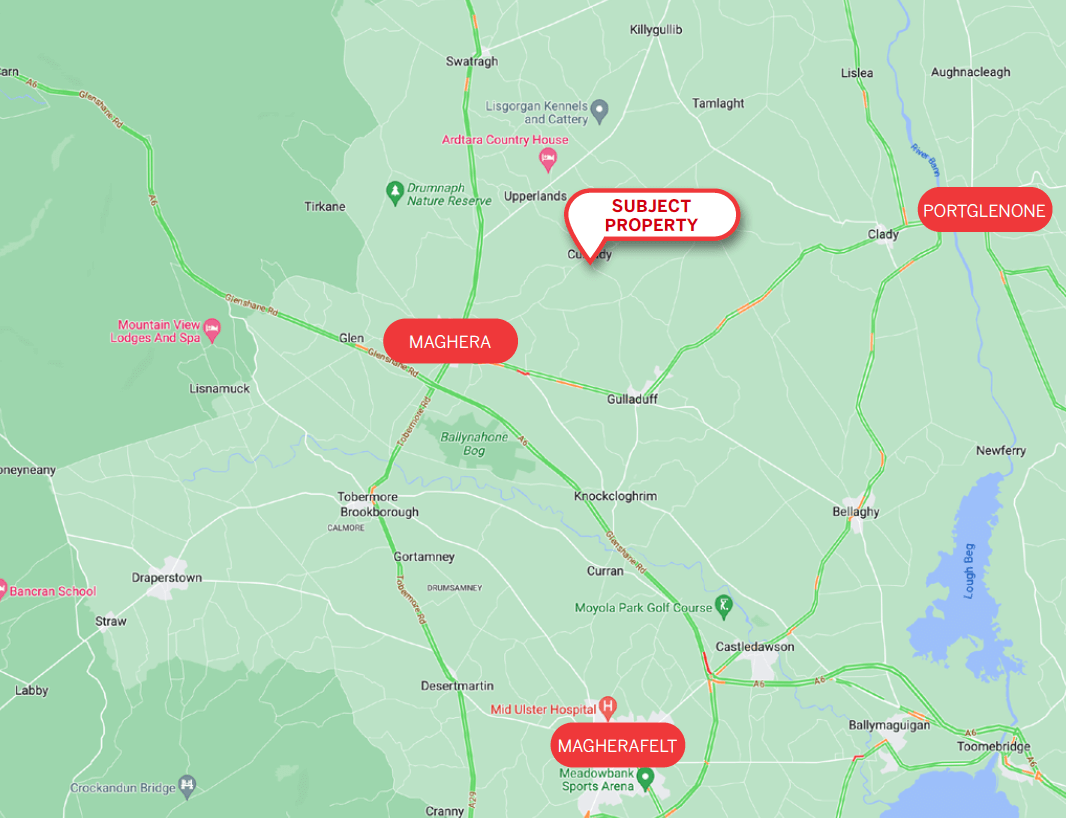
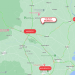
The subject property is located in Culnady, a small village in the Mid-Ulster Council District located just 2.6 miles from Maghera.
The village is circa 16 miles from Ballymena, 22 miles south of Coleraine and 42 miles from Belfast.
Culnady is home to around 150 people, with the nearest town of Maghera having a population of circa 4,500 people.
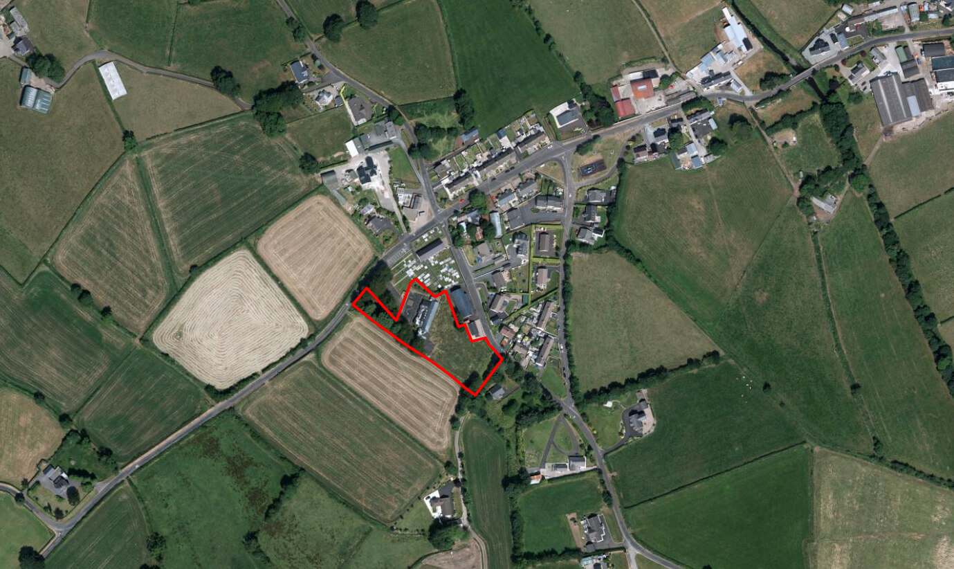
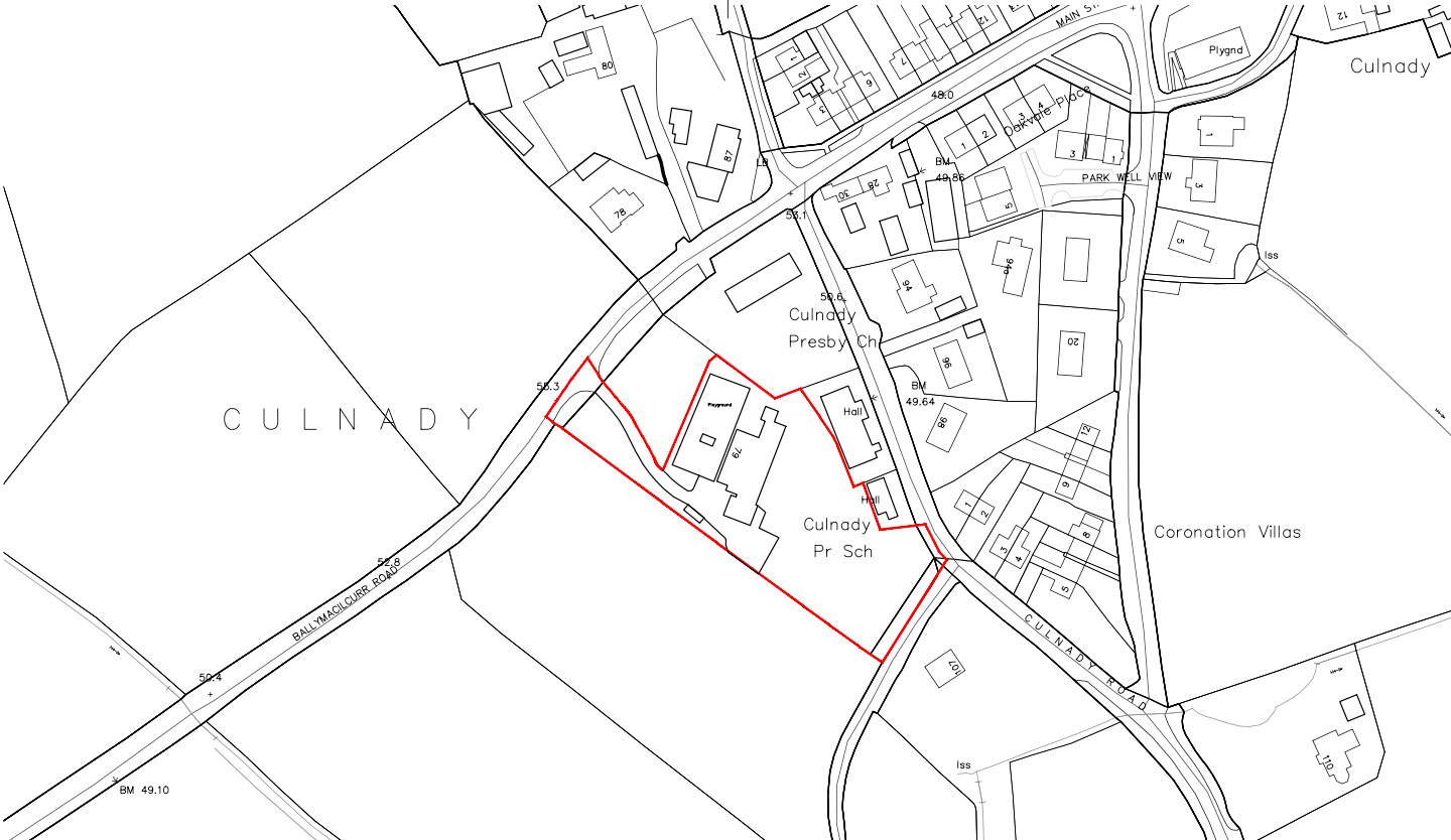
The subject asset sits between the Ballymacilcurr Road and the Culnady Road. The surrounding uses are as follows;
North Culnady Presbyterian Church & Cemetery
East Culnady Presbyterian Church & Cemetery
South Agricultural Land
West Ballymacilcurr road & agricultural land
The former Culnady Primary School closed around 2019 and we understand the last enrolment figure was circa 22 pupils.
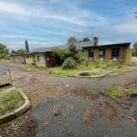
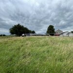
The primary school building sits on a well-proportioned, rural site of circa 1.4 acres.
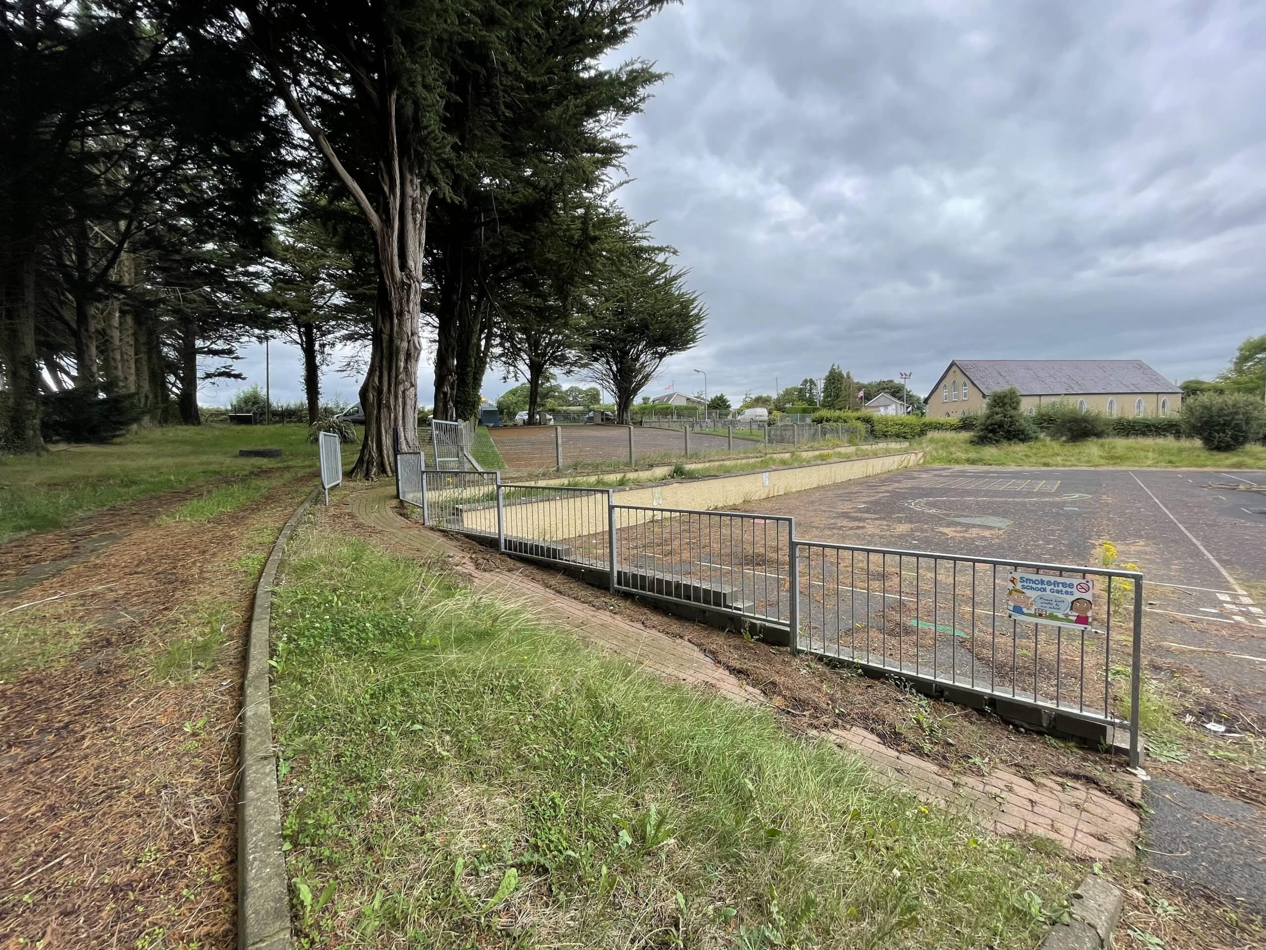
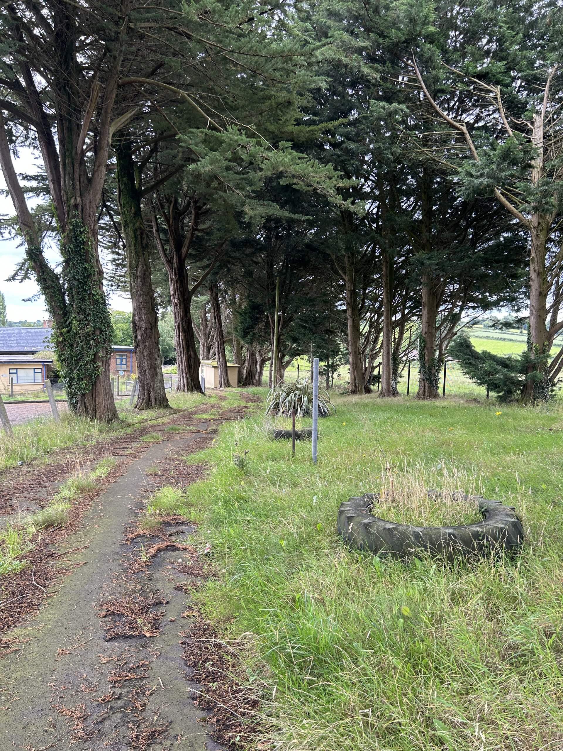
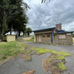
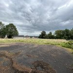
The property is accessed from the Ballymacilcurr Road, via a downward sloping tarmac roadway and pavement with landscaped grounds to the side.
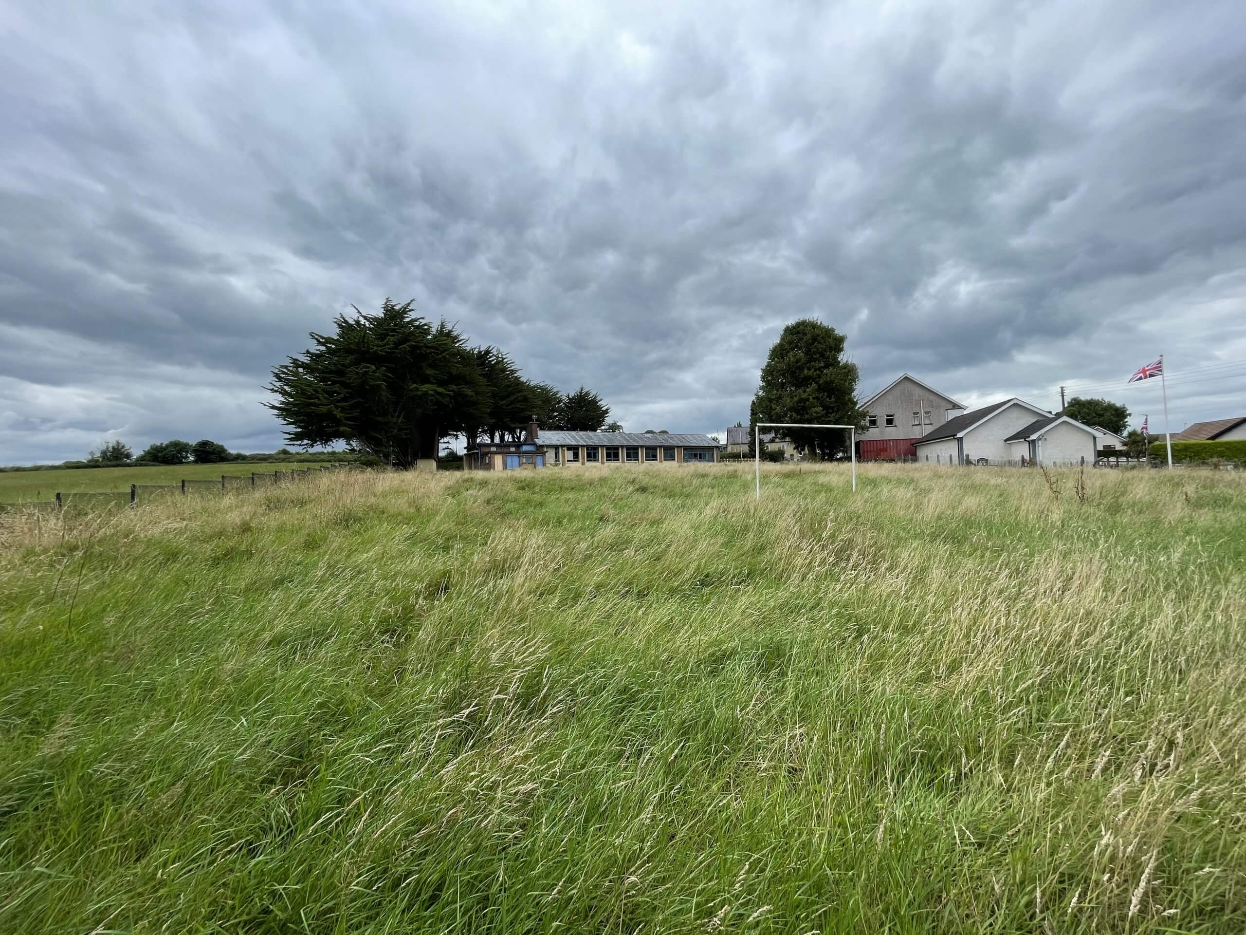
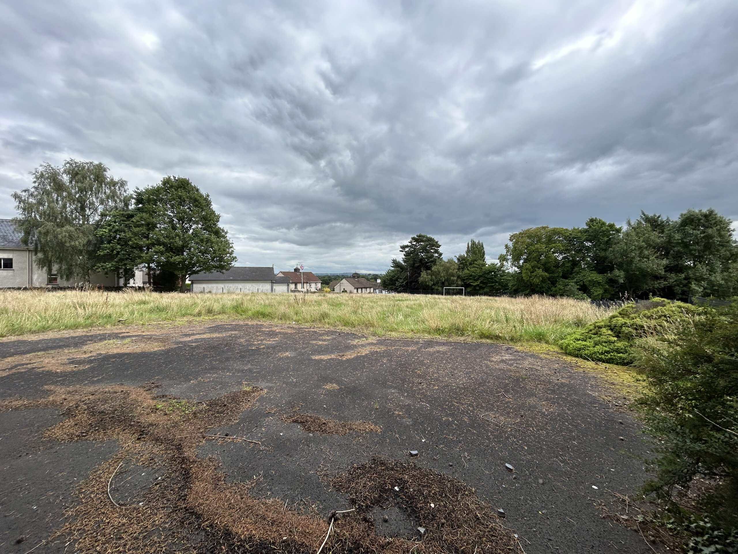
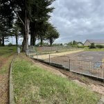
The land around the building comprises of a playground of c. 0.1 acres and a football field of circa 0.7 acres. The land is secure with palisade fencing around the perimeter and vehicular gates onto the Ballymacilcurr Road.
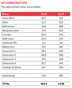
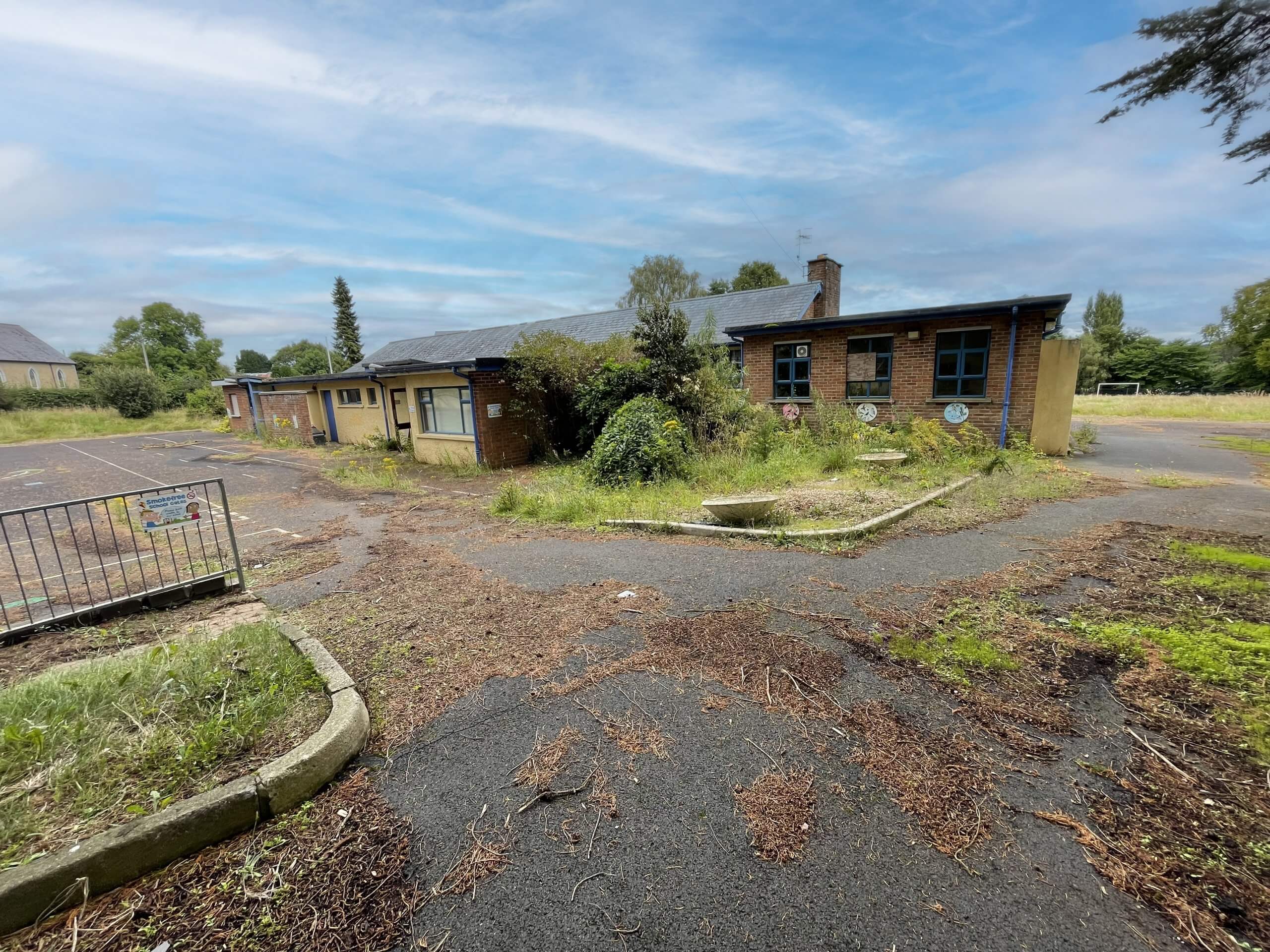
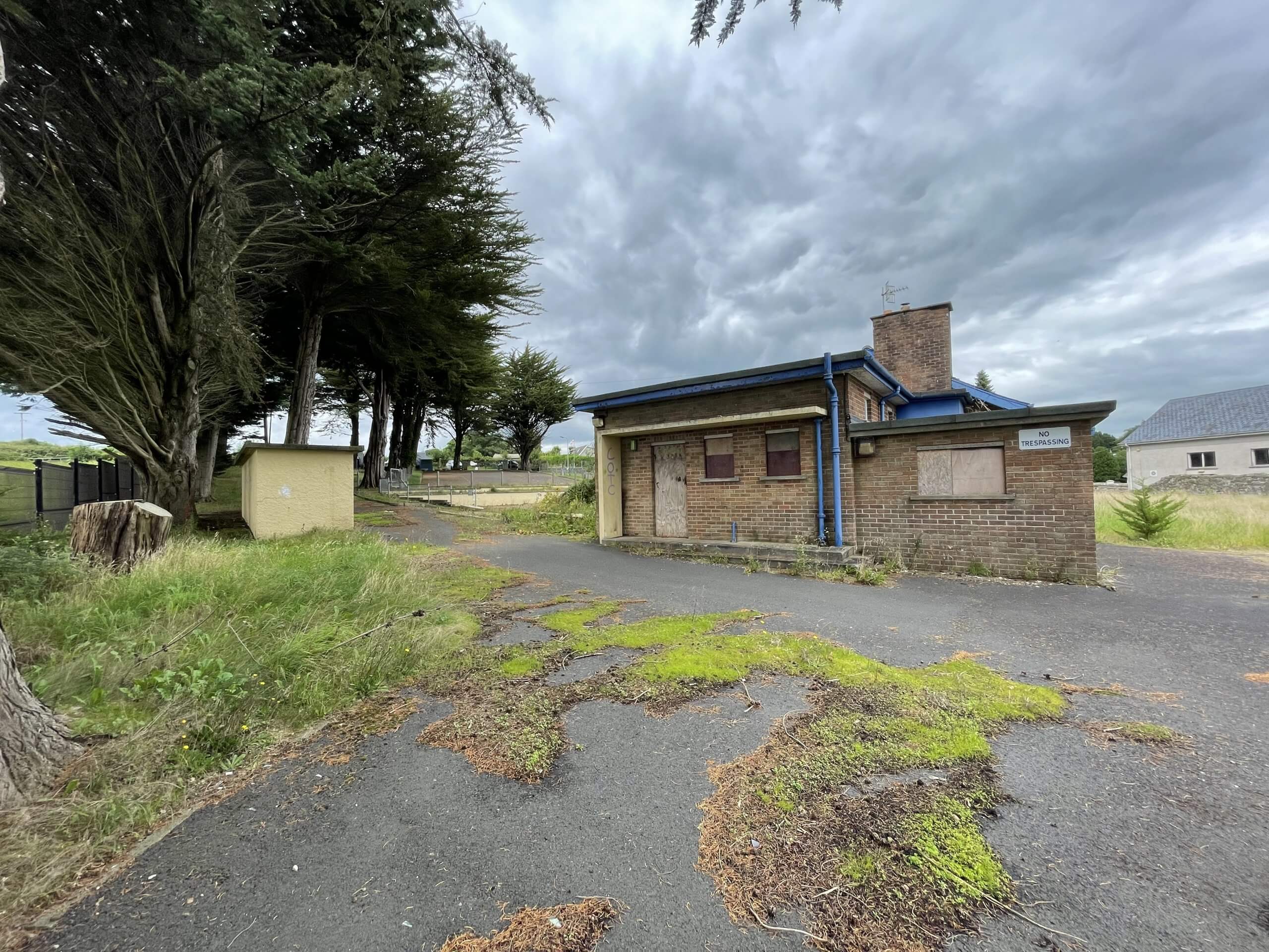
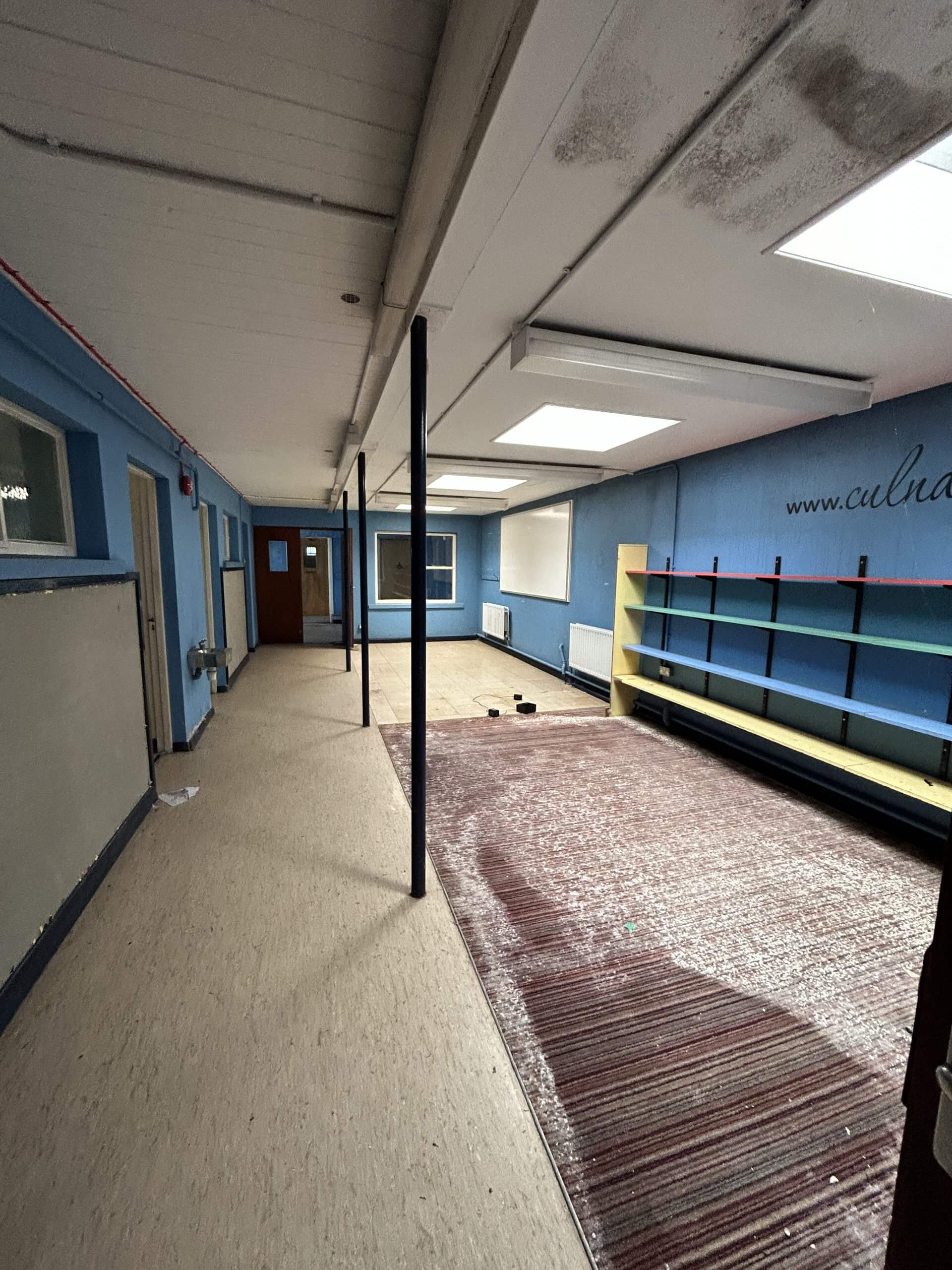
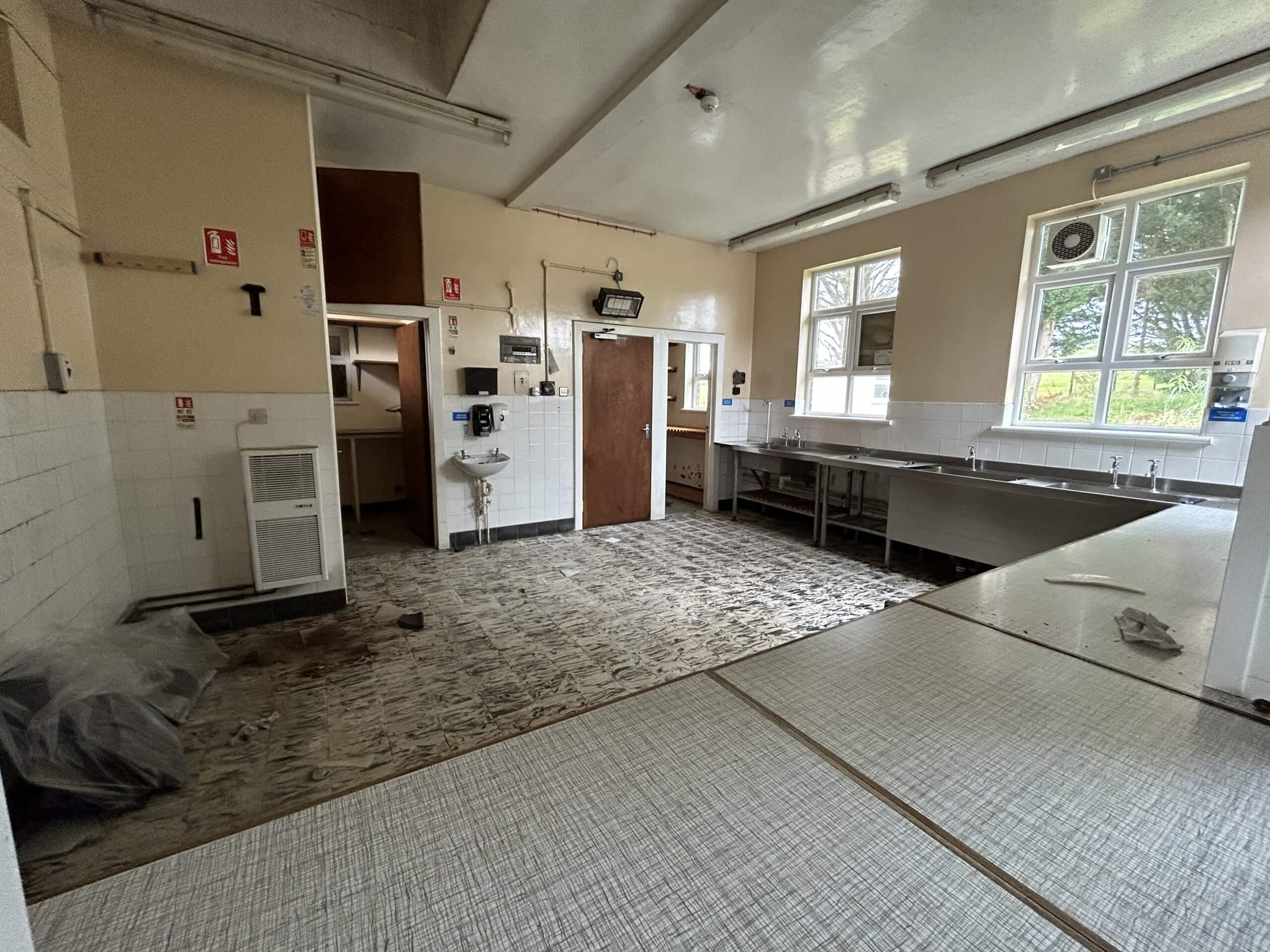
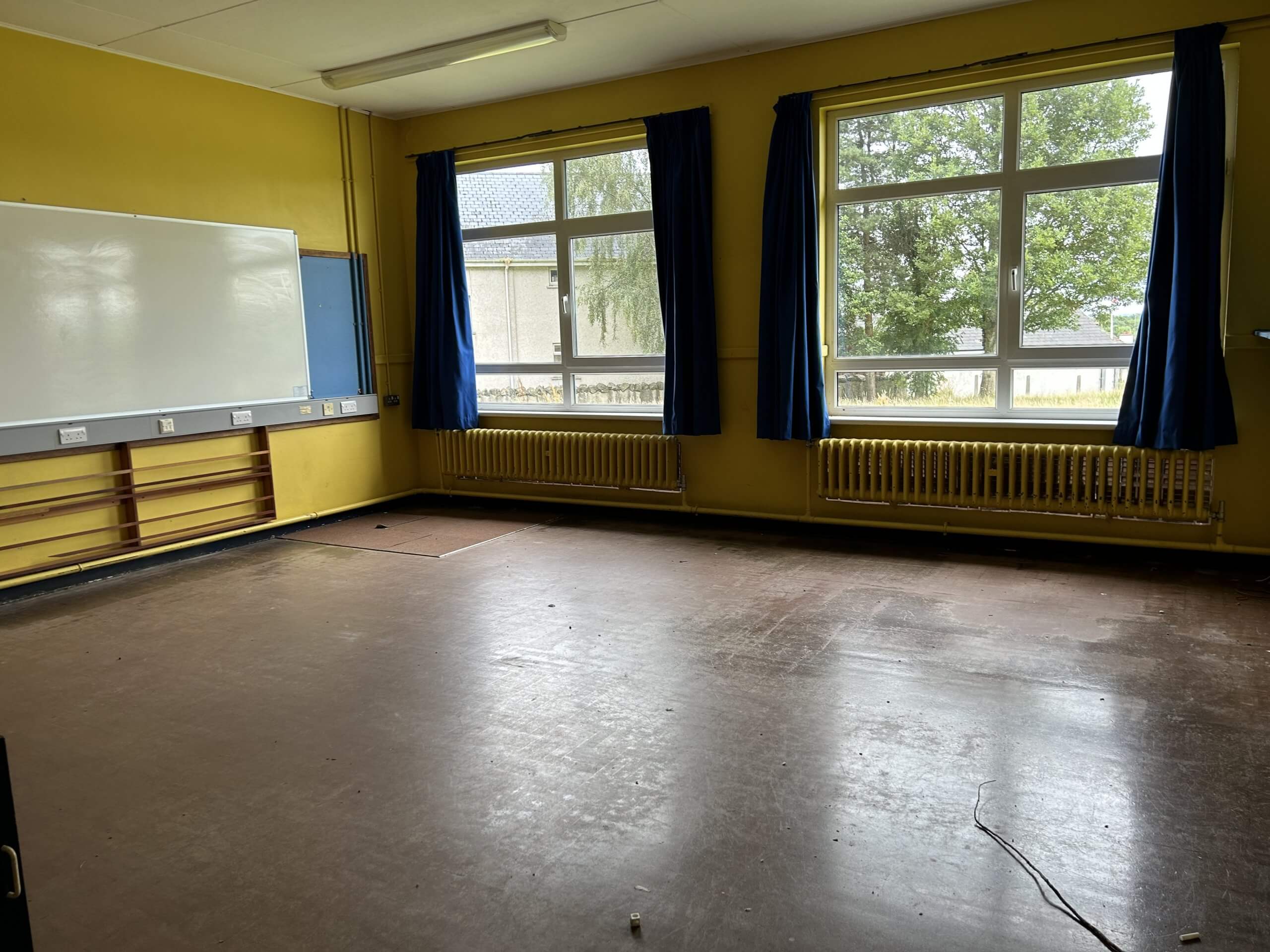
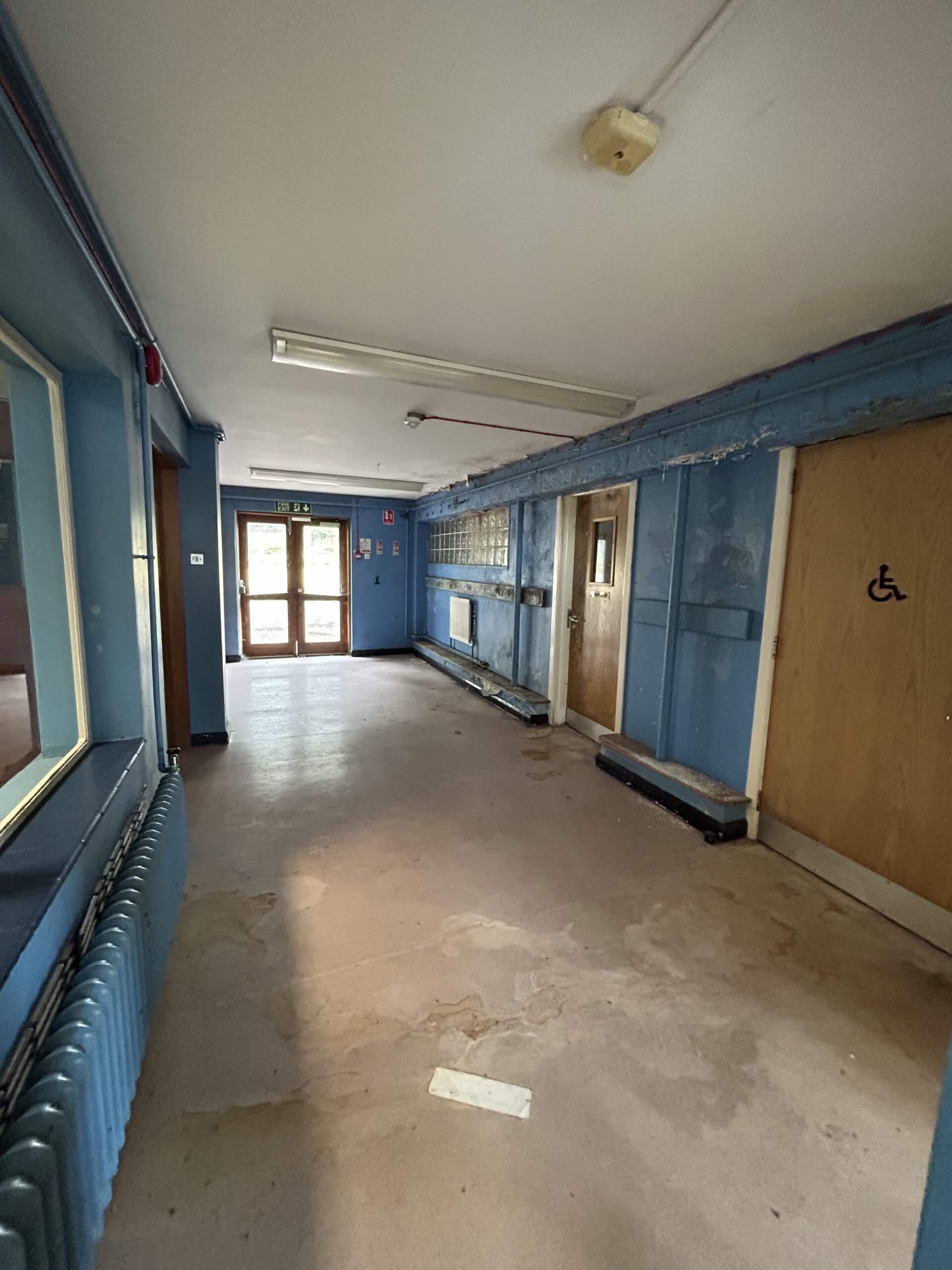
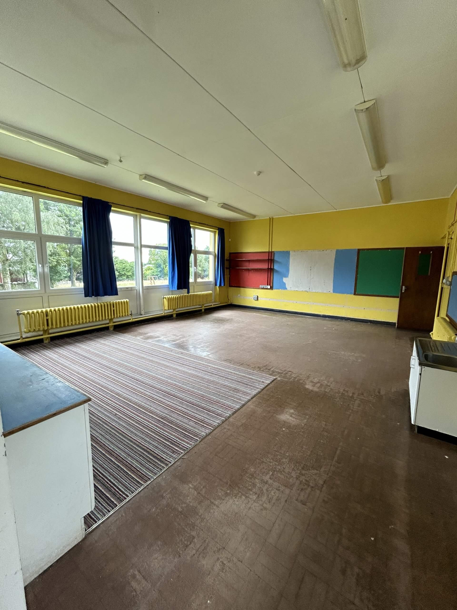
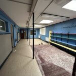
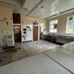
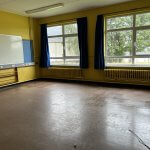
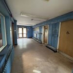
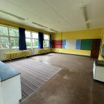
The buildings on site comprises the main school building which is circa 4,000 sq ft. The school is very much arranged in a primary school layout, with classrooms, assembly hall, canteen and children’s bathrooms. We note there is also a small detached building of circa 200 sq ft adjacent to the main building.
The subject property is located in Culnady, a small village in the Mid-Ulster Council District located just 2.6 miles from Maghera.
The village is circa 16 miles from Ballymena, 22 miles south of Coleraine and 42 miles from Belfast.
Culnady is home to around 150 people, with the nearest town of Maghera
The subject property is located in Culnady, a small village in the Mid-Ulster Council District located just 2.6 miles from Maghera.
The village is circa 16 miles from Ballymena, 22 miles south of Coleraine and 42 miles from Belfast.
Culnady is home to around 150 people, with the nearest town of Maghera having a population of circa 4,500 people.
The subject asset sits between the Ballymacilcurr Road and the Culnady Road. The surrounding uses are as follows;
North Culnady Presbyterian Church & Cemetery
East Culnady Presbyterian Church & Cemetery
South Agricultural Land
West Ballymacilcurr road & agricultural land
The former Culnady Primary School closed around 2019 and we understand the last enrolment figure was circa 22 pupils.
The primary school building sits on a well-proportioned, rural site of circa 1.4 acres.
The property is accessed from the Ballymacilcurr Road, via a downward sloping tarmac roadway and pavement with landscaped grounds to the side.
The land around the building comprises of a playground of c. 0.1 acres and a football field of circa 0.7 acres. The land is secure with palisade fencing around the perimeter and vehicular gates onto the Ballymacilcurr Road.
The buildings on site comprises the main school building which is circa 4,000 sq ft. The school is very much arranged in a primary school layout, with classrooms, assembly hall, canteen and children’s bathrooms. We note there is also a small detached building of circa 200 sq ft adjacent to the main building.
We note from a review of Planning NI that that there are no live, expired or historic planning applications or permissions on the property.
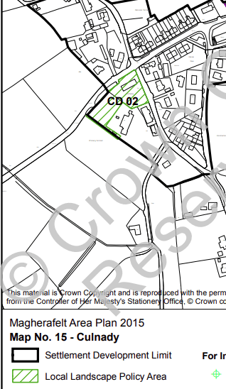
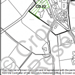
Under the Magherafelt Area Plan 2015, the land is within the Culnady Settlement Development Limit.
We also note that the entrance to the land is located in the Culnady Local Landscape Policy Area, noting that the following features contribute to the environmental quality, integrity or character of the area;
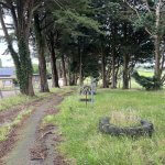
Visually important tree group at the primary school, beside the Presbyterian Meeting House; a good entrance / exit feature from the west.
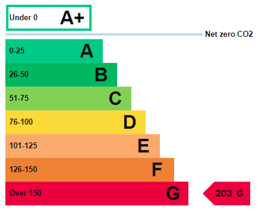
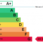
G203
Registered Freehold title.
The rateable value as per the Land and property website:
Net Annual Value: £4,600
Rate in the £ 23/24 0.533449
Rates payable 23/24: £2,453.87
All prices, outgoings and rentals are exclusive of, but may be liable to VAT.
Thanks for showing an interest in our research reports. For access to our archive, just add your details and we’ll get back right away with your account confirmation and the publications you’d like to read.